Client:
Golder Associates Pty Ltd
Golder Associates Pty Ltd link opens in a new tab
https://www.wsp.com/
Rail line under central Brisbane
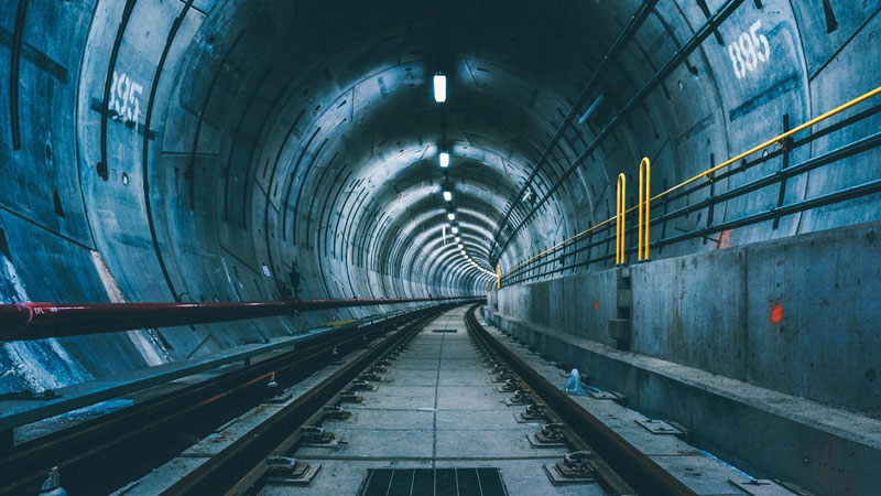
Cross River Rail is a new 10.2 kilometre rail line from Dutton Park to Bowen Hills, which includes 5.9 kilometres of tunnel under the Brisbane River and the Central Business District. The project will deliver four new underground stations at Boggo Road, Woolloongabba, Albert Street and Roma Street, with upgrades to Dutton Park and Exhibition stations.
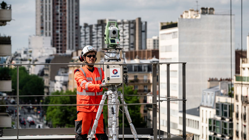
Golder Associates hired Sixense services to provide a remote InSAR monitoring system supporting their activities relating to the Cross River Rail project in central Brisbane.
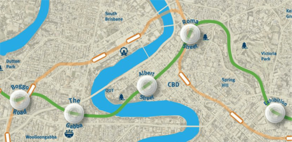
The area of interest (AOI) to be monitored for this project covers the centre of Brisbane, particularly the area in between Albert, Elizabeth, Edward and Alice St. The area to be processed/monitored was extended to also cover the main underground route of Cross River Rail alignment and Albert, Roma and Woolloongabba stations. The study area covered 11 km².
Historical study from space
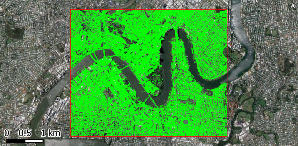
ATLAS InSAR monitoring solution was successfully applied for a baseline, or historical study, over the central area of Brisbane during a period of 6 years (from February 2012 to May 2018). The results of the work proved that ATLAS InSAR is a very cost-effective, suitable tool for long-term detection and monitoring of past motion in urban areas such as this one.
The baseline was derived using 50 X-band high-resolution TerraSAR-X images and providing up to 130,000 measurement points (PS) in the area of interest.
The results were delivered through the Beyond Satellite web-based platform that enables the integration of ATLAS InSAR data and more traditional ground deformation moniotoring methods.
Images of the project
High-resolution SAR images processed
InSAR measurement points