Client:
Colorado Parks and Wildlife (CPW)
Colorado Parks and Wildlife (CPW) link opens in a new tab
https://cpw.state.co.us/
Colorado Parks and Wildlife Dam Safety
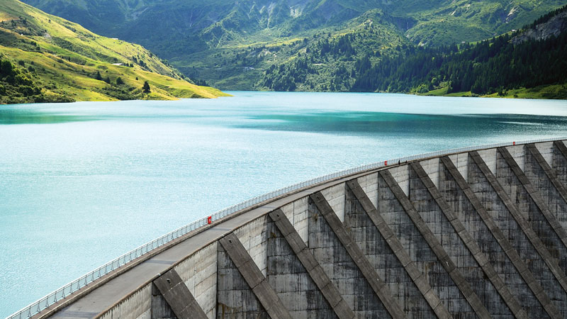
The Colorado Parks and Wildlife (CPW) Dam Safety Team is the largest owner and operator of dams in the state of Colorado. Their inventory includes 119 dams in the state, and the water is used for purposes like fisheries management and aquatic operations, downstream irrigation, and a variety of recreational activities for the public. CPW continuously integrates new methods to secure infrastructure integrity and protect the downstream communities.
Radar Satellite-Based Solution Integration
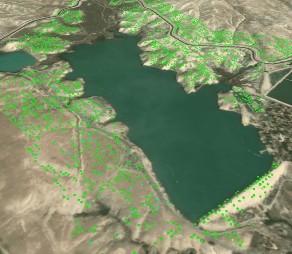
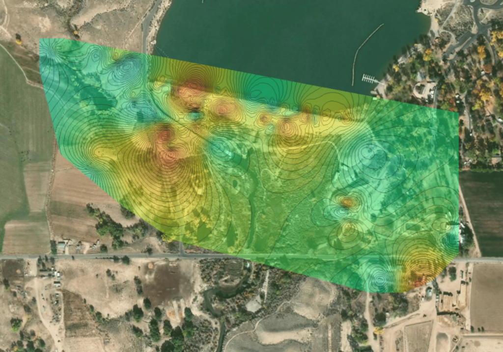
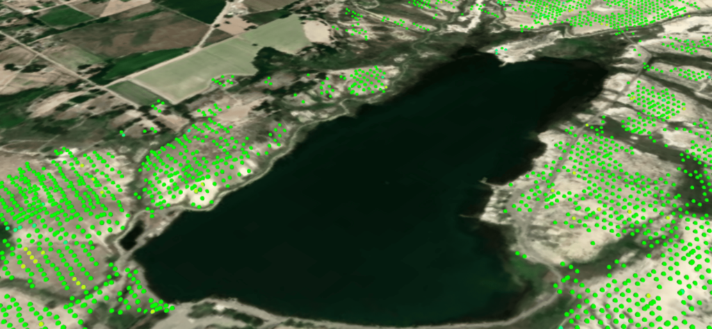
Atlas InSAR was integrated into The Colorado Parks and Wildlife risk mitigation plans as a cost-effective solution to detect ground and structural motion, track subsidence, and identify vulnerable slopes. The radar satellite-based solution provides millions of measurement points with millimetric precision on a regular basis over assets and grounds.
The Colorado Parks and Widlife: First Historical Study
Sixense Northern America has successfully monitored 25 of their 119 dams using remote sensing technology. This was accomplished with the help of Sixense Iberia, the company’s subsidiary in Spain & Portugal, demonstrating how the company is able to leverage their international organization.
In the first historical study, more than 2.000 Sentinel-1 images were processed with our advanced processing chain Atlas InSAR. The ground motion maps generated an understanding of the terrain behavior in the past and contributed to improving the field inspection planning for the dam safety team.
Work Ahead
The InSAR multi-year monitoring program will ensure the continuity of the measurements during the next couple of years. Sixense’s work has demonstrated that Atlas InSAR data is very suitable for the detection and monitoring of ground motion. Furthermore, the results obtained will be used as the baseline for future updates and next deliveries of this project.
Images of the project
Sentinel-1 images
Dams Monitored
Similar projects