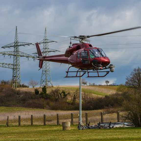
Sixense Helimap, a subsidiary of the Sixense Group that specialises in acquiring geospatial data using LiDAR and photogrammetry, has announced the signing of a strategic partnership with meteoblue, a Swiss company that specialises in high-resolution weather modelling. Formalised in May 2025, this partnership marks a new step in enhancing power line studies by automating the integration of accurate meteorological data.
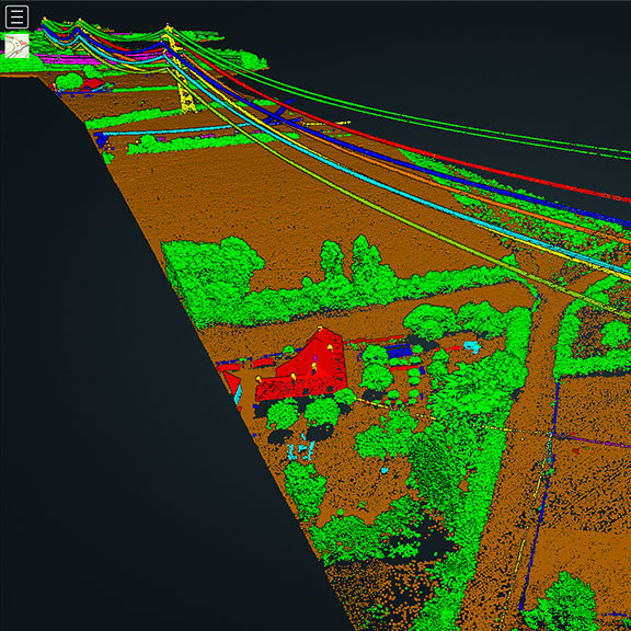
Helimap has relied on meteoblue’s services to supplement its field surveys for several years. This partnership formalises and strengthens this collaboration by integrating meteorological data directly into the 3D analysis and modelling processes for power lines.
Why integrate weather data into 3D models?
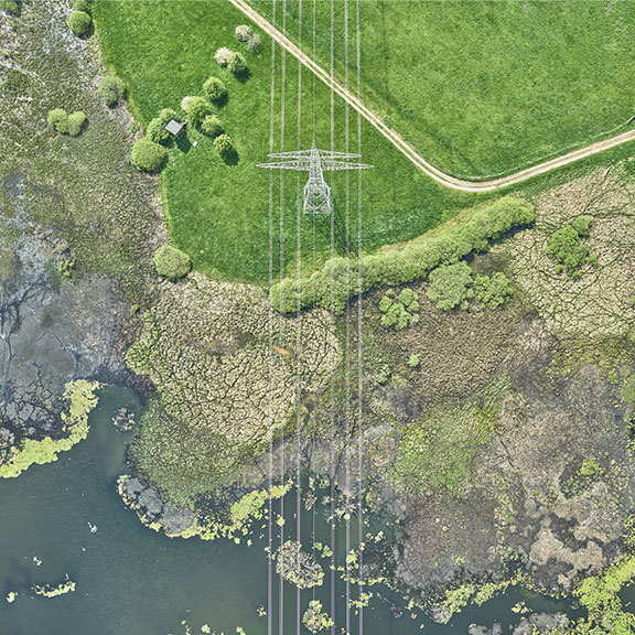
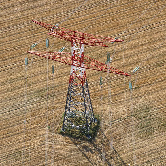
Network operators and engineering firms increasingly need reliable, contextualised data to anticipate how infrastructure will behave in the face of climate change. Temperature, solar radiation and wind directly influence the geometry of power lines, consequently affecting their safety and performance.
Thanks to this partnership, Helimap project managers now have an integrated tool that provides them with access to accurate weather data at the time of acquisition. This data is automatically cross-referenced with the 3D geometry of the lines modelled by Helimap to produce faster, more reliable and more detailed analyses.
Cutting-edge technology for enhanced analysis
The integration of meteoblue’s high-resolution weather forecasts into Helimap’s 3D models enables the creation of ultra-realistic digital twins. These models can then be used to simulate the behaviour of power lines in extreme weather conditions, offering new opportunities for predictive maintenance, risk management and network optimisation.
A partnership at the heart of climate issues
In the context of global warming, a few degrees can alter the operating conditions of networks. This partnership allows Helimap to provide its clients with solutions that are increasingly relevant, accurate, and tailored to current challenges.
To find out more about our expertise in mapping services and heritage digitisation, click here.