Client:
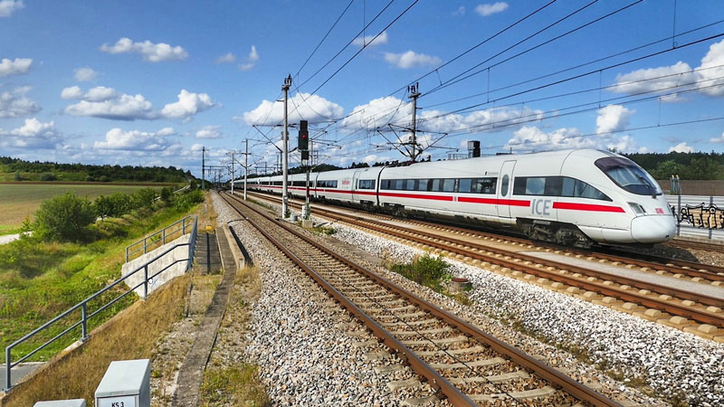
The Red Line, also known as the Coast Line, is part of Phase 1 for the Doha metro project and will run for about 40 kilometres. QDVC is the leader of the joint-venture in charge for this project.
The Red Line South project comprises the design and construction of the underground works below central Doha, including 5 underground stations, between the Musheireb Underground Station and the New Doha International Airport. This package comprises of 13.8 km twin bored tunnels at an average depth of 25 metres below ground level.
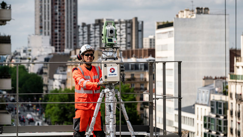
Sixense started providing a comprehensive monitoring system for this project in 2014. During 2014, most of the monitoring was for the station bulk excavations. Monitoring works included inclinometers, precise levelling around the excavations and extensive ground water monitoring and logging, due to the high water table and dewatering activities. On one of the stations near the old airport, contaminated ground and groundwater was encountered which required extensive monitoring and sampling, this was carried out with the assistance of our sister company Sol Environment. On a couple of stations where bulk excavations were close to existing structures the monitoring was intensified and included 3D surveying of the cut faces and load cells on the ground anchors.
During 2015, the focus changed to tunnel monitoring with five TBM’s (Tunnel Boring Machines) launched. The monitoring consisted of precise levelling with up to five teams out daily monitoring the zones of influence of the TBM’s, complimented by Robotic Total Stations (CYCLOPS system) monitoring sensitive structures on the tunnel routes. Due to TBM face pressure causing an increase in localised ground water pressure, accurate ground water monitoring was also required on the TBM routes.
As numerous interested parties required remote access to the monitoring data, we used Geoscope, our in-house software for hosting and presenting the data.
In areas of particular interest the monitoring system was fully automated with loggers uploading data to the web on an hourly basis.
Images of the project


Precise Leveling Points
Nos. Prisms
Observation Wells monitored
CYCLOPS used at over 20 locations
Inclinometers
Rod Extensometers
Load Cells