Client:
RATP, Sogea TPI
RATP, Sogea TPI link opens in a new tab
A strategic redevelopment
With 750,000 passengers a day and the interconnection of three RER lines and five metro lines, Châtelet-Les Halles is the largest transport hub in the Greater Paris region. After 30 years of operation, the redevelopment project aims to open it up to the city and improve access and traffic flow.
It is more a metamorphosis than a development. Overall, the project includes reorganising the surface areas, reorganising the underground areas and opening up the multimodal hub, with work set to last from 2010 to 2016 at a total estimated cost of €802m.
The transformation of the multimodal hub at the heart of Les Halles, being financed by the City of Paris, the Greater Paris region and the RATP, amounts to €164 million.
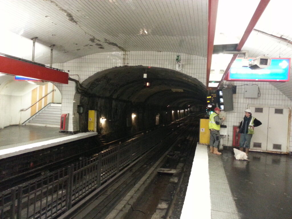
RATP is the project owner as well as responsible for project management. With 1,500 RER trains/day and 1 RER every 40 seconds at peak times, there was no question of closing the station during the works, instead opting to minimise the impact on passengers.
Works being monitored
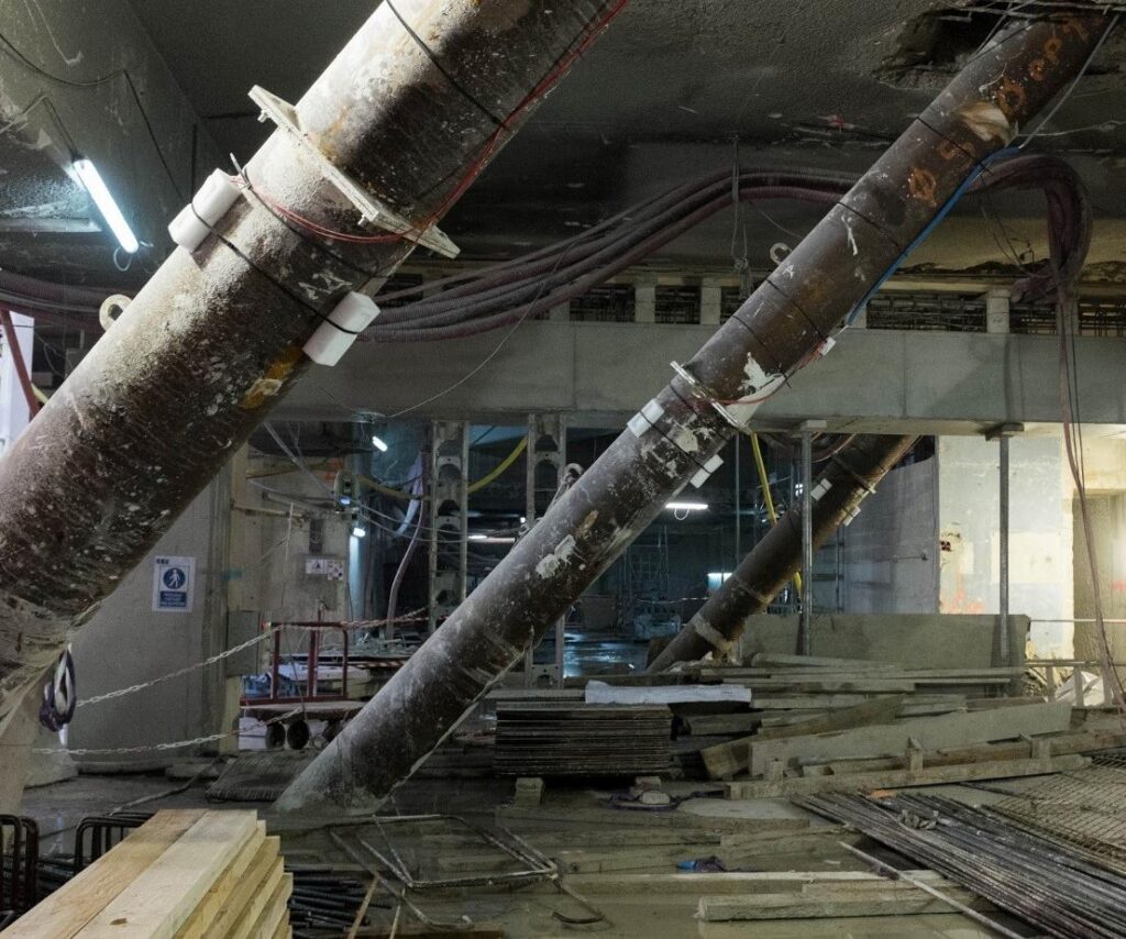
Sogea TPI was appointed by RATP to create a new entrance on Place Marguerite de Navarre as an extension of the RER station’s Berger and Rambuteau entrances, as well as to restructure and expand the RER interchange hall.
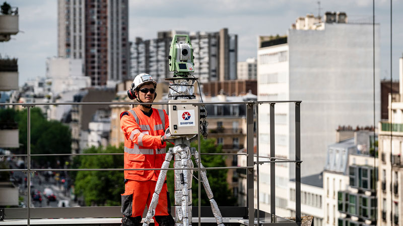
Sixense handled the monitoring with the objective of:
- contributing to the safe execution of the works, excavations, temporary and final structures and neighbouring buildings
- monitoring the impact of the works on surrounding and existing structures in real time, in order to adapt the construction methods, if necessary
- verifying the assumptions for measuring the foundations, retaining structures, etc.
To achieve these objectives, Sixense implemented a wide range of instruments on the surface, in tunnels and at various levels of the multimodal hub. To operate the alarms and ensure permanent access, data was collected automatically 24 hours a day and centralised on our Geoscope web platform, accessible to the company and to RATP.
Images of the project
settlement gauges
Cyclops
gauges
electronic levelling tools