Client:
Tunisian Ministry of Agriculture
Tunisian Ministry of Agriculture link opens in a new tab
http://www.agriculture.tn/

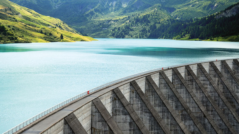
A dam to develop agriculture
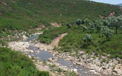
In order to manage and store water, Tunisian authorities decided to build a dam in the upstream section of the Melah wadi, located South-West of the city Bizerte in Tunisia.
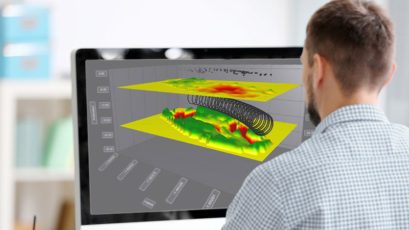
In that framework, Sixense, in association with Hydrosol Fondations, in charge of the geotechnical study, was responsible for imaging the site’s geology.
Before starting the construction, through a geophysical campaign carried out by Sixense, the client required further information on the nature, depth and thickness of the geological horizons.
Information on dam design and anchoring
Sixense intervened on the concerned site using Seismic Refraction in order to analyse compressional seismic waves (P-Waves) generated by explosives. Refraction of these waves along the layer interfaces allows their seismic velocities as well as their thickness to be obtained.
This survey provided significant clarification on the site’s geology. It defined:
-a loose geological formation of less than 5m in thickness,
-a compact formation containing signs of alteration of approximately 20m in thickness,
-a compact yet sometimes fractured substratum below.
All the information provided by Sixense allowed the identification of the geological formation, defining their properties and physical characteristics, including their stability prior to building the dam.
Images of the project
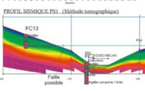
refraction seismics profiles
seismic acquisition system (24 channels)
cable spreads including 24 geophones
Similar projects