Client:
Acciona & Gulermak
Acciona & Gulermak link opens in a new tab

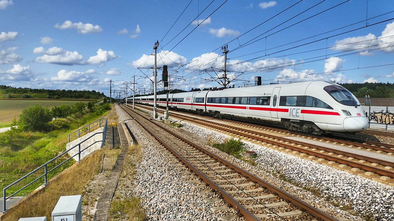
Dubai Metro Route 2020:
The Dubai government has been working round the clock on various mega projects to serve its vision of Expo 2020.
ROUTE 2020, an extension of the Dubai Metro, is one of the most crucial of such projects, and aims at giving tens of thousands of travellers access to the Expo 2020 site each day. Connecting the existing Jebel Ali Metro Station to the Expo 2020 site, the 15km long line (11.8km elevated and 3.2km underground) is scheduled to open before the world event commences.
Sixense Mapping Expertise:
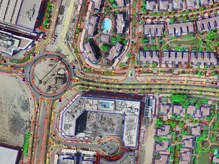
In order for ALSTOM/Acciona & Gulermak to assess and later optimize the pedestrian access layout of the surroundings of the future metro stations, and allow the pedestrians to have available ways to reach the new transportation hubs. a comprehensive assessment of the current situation was needed.
Sixense was contracted to provide its mapping solutions, in the form of digital high resolution orthopictures , and CAD drawings, depicting the situation within an 800m-radius circle around 5 of the 7 stations of ROUTE 2020.
The survey typically provided the location of road pedestrian crossings, drop kerbs, vehicle parking lots, bicycle storage units, street lighting, pathways, courtyards, public amenities (such as pools, sports courts, seating areas…) and site furniture (benches, litter bins, bollards, shade structures)…
The survey was carried out simultaneously in two ways:
- On the ground, with teams reporting the location of each of those items, and taking photographic evidence
- Carrying out a drone survey, photos were then digitized and CAD drawings generated.
All information was then made available on specific layers on the CAD files directly, and reports summing up the photographic details were provided.
Images of the project

Metro stations surroundings surveyed
Photographies
Hectares surveyed