Client:
Agence du Bassin Hydraulique du Bouregreg et Chaouia (ABHBC)
Agence du Bassin Hydraulique du Bouregreg et Chaouia (ABHBC) link opens in a new tab
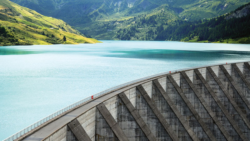
A densely populated zone exposed to floods
The Bouregreg and the Chaouia Rivers contains a high number of Morroco’s critical water assets including many dams, in a densely populated region..
In order to protect the cities and villages along the rivers, Sixense Morocco set-up a network of preventative water level radars systems, upstream of the inhabited zones. Thresholds and trigger levels were set-up, and alarms are automatically issued to the local authorities (via the ABHBC) in case of flood risks.
Assess and optimise water resources
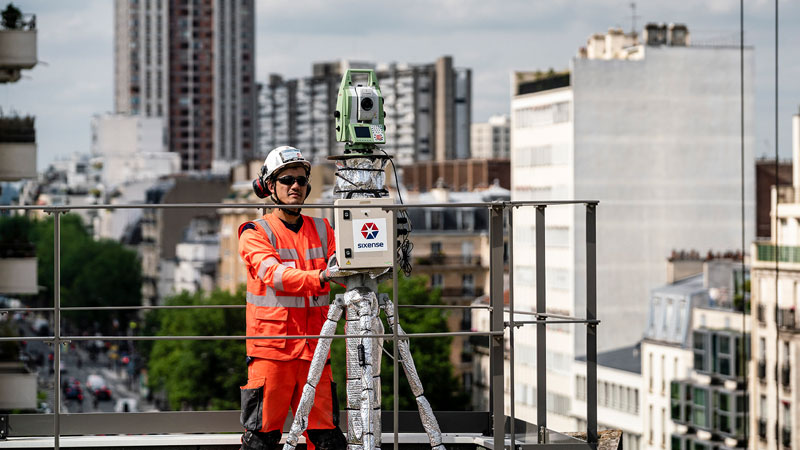
Automated weather and hydrological stations, comprising of thermometers, anemometers, rain gauges, nearby stream, river or dam reservoir water level sensors, flowmeters and phreatic zone water level sensors, allow the ABHBC to gather comprehensive information about the water resources in the area and make fully informed decisions based on accurate data.
The monitoring information is processed and made available by GEOSCOPE, the data can also be handled using third party software and different analysis and calculation tools of the ABHCB or the Direction des Aménagements Hydrauliques. The Risk Management prediction tool commissioned in this part of Morocco, developed by the French company PREDICT, directly takes information from Geoscope thanks to a Predict module developed by Sixense Morocco.
Images of the project
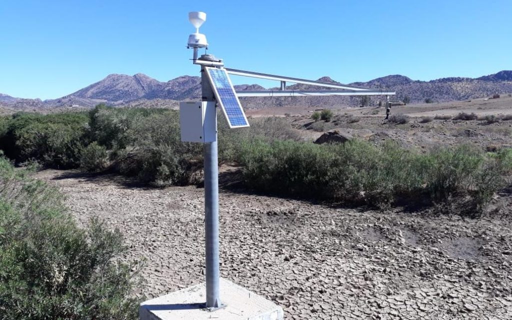
Complete Weather Stations
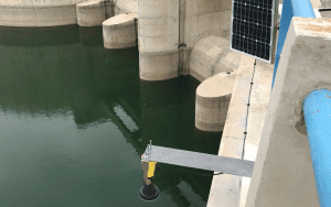
Water Level Radars
Data transmission using the GSM network and long-range radio spectrum
Geoscope, with data acquisition every 5min
Similar projects