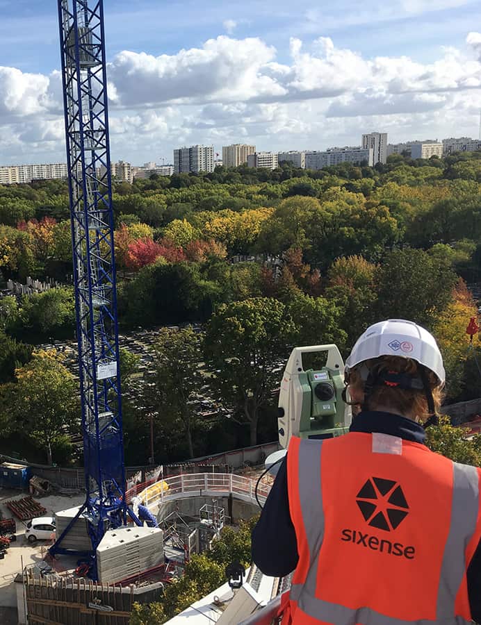
Cyclops™ is a proven geodetic solution for continuous automated 3D monitoring of structures and surfaces:

  • It provides remote 3D movement measurement with sub-millimetric accuracy
  • It also enables theodolites to be grouped within a globally unstable environment to deliver guaranteed nominal accuracy

Cyclops™ is the world’s leading automated topographic measurement method in terms of projects completed and result quality.


Cyclops™, automated topography

Our Cyclops™ system has the ability to control the latest robotic theodolites to remotely monitor movements in three dimensions and/or perpendicular to a surface with sub-millimetric accuracy.

Our applications include the option to group theodolites together in order to cover larger surface areas and guarantee delivery of the required level of accuracy.

Our experience and constant quest for data quality allow us to achieve superior levels of reliability and accuracy, and are often called upon to remediate third-party facilities.

Cyclops SIXENSE
la solution CYCLOPS par SIXENSE pour les tunnels

Cyclops™ and its applications

Any project or structure affected by absolute deformation (3-dimensional monitoring) or relative deformation (distance monitoring, differential settlement, inclination, etc.):

  • Structural and/or site deformation or movement: buildings, bridges, dams, landslips, mines, etc.
  • Tunnel convergence
  • Surface deformation of roads, pavements, rail track, etc.

Principle of operation

schéma de fonctionnement du CYCLOPS de SIXENSE
Cyclops SIXENSE

The Cyclops™ solution gives you:

  • A solution for a multitude of different situations and applications: a standalone or networked system, with or without prism, fixed or mobile, and installed within the zone of influence, but referenced outside it
  • Sub-millimetric accuracy
  • A system capable of alignment with the phases of complex inspection programmes

Download the Cyclops™ solution datasheet