One year after the launch of a nationwide project, Sixense’s subsidiary, Helimap, is demonstrating its expertise in mapping and digitising railway infrastructure.
The digitisation of railway infrastructure is now essential for improving the management, maintenance and safety of networks. Our solutions, and in particular digital twins, provide a comprehensive, accurate and up-to-date view of the railway network.
A first digital twin for the railway network
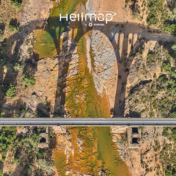
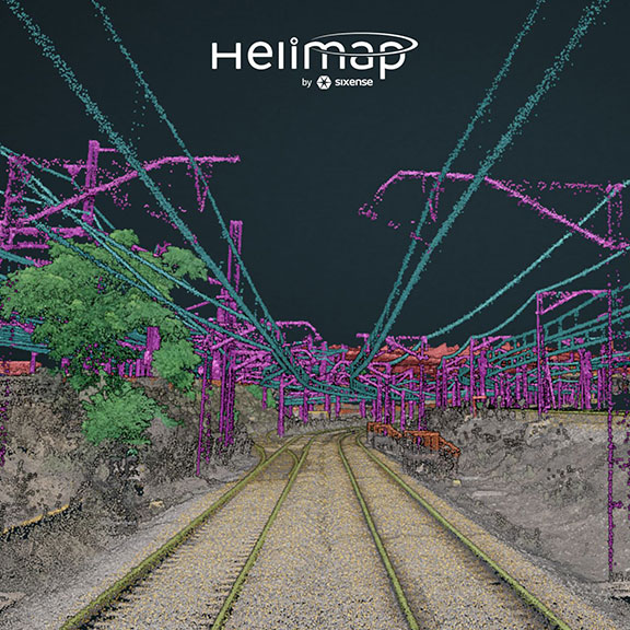
Commissioned by COTESA, a consultancy firm specialised in geospatial data, Sixense Helimap acquired and processed LiDAR and photogrammetric data covering over 12,000 km of the railway network, managed by the public organisation ADIF.
This project, completed in just two months, is part of a national railway vegetation management plan.
It enabled Helimap and its customers to achieve several objectives, including:
- the creation of the first high-precision digital twin of the Spanish railway network,
- the implementation of a digital inspection process combining LiDAR technology and high-resolution imagery,
- gaining a comprehensive overview of the network to optimise vegetation management.