Mosul Dam l Iraq
Project summary
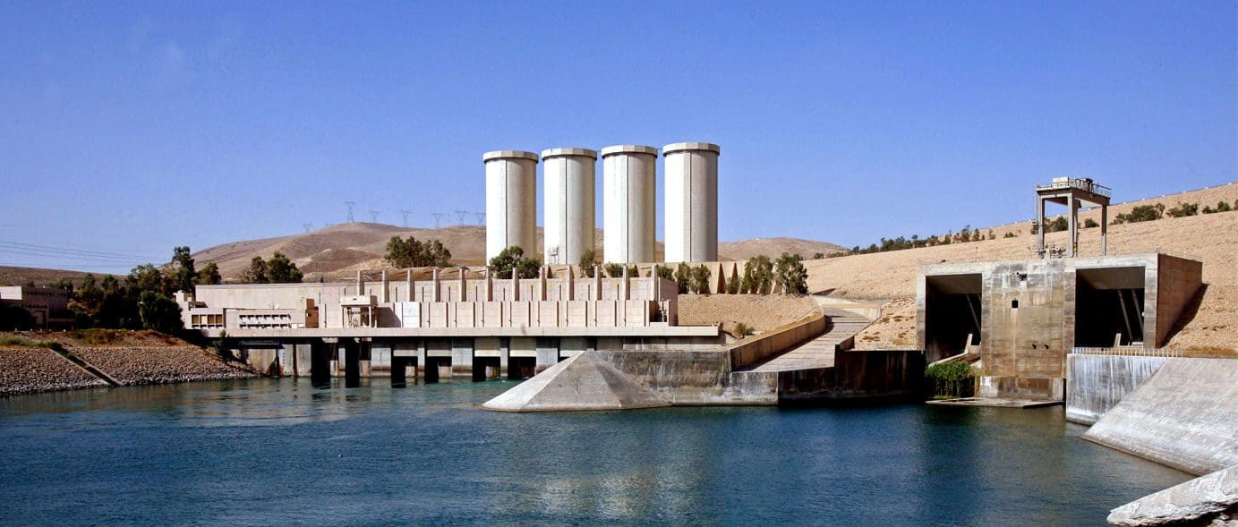
Images of the project
A strategic reservoir
The Mosul Dam, 40 km away from the 2nd most crowded city in Iraq, is a strategic asset in the country.
Located on the Tigris River, 131 m high and 3500 m width, this rock fill dam is a major hydroelectric power plant which can generate from 350 MW to 3500 MW.
An inspection in April 2003 revealed leaks in several places. To mitigate these weaknesses, remedial works have been studied. With the dam being established in a geologically complex area, conducting such injection works is a challenging task.
Surveillance from the space
In order to provide global monitoring of all the dam´s infrastructures and their environment, Sixense carried out a remote surveillance campaign of the working site with satellite radar interferometry methods (InSAR).
ATLAS, developed by Sixense together with IGN (National Geographic Institute), allows for displacement characterisation and mapping, with an accuracy of up to 3 mm. Based on natural or artificial reflectors in the radar images, this solution is particularly effective for medium to long term supervision over large areas.
Considering the low density level of natural reflectors in the area, Sixense developed an innovative algorithm integrating together natural and surface reflectors in order to improve density of measurement points. This ATLAS survey provided an efficient baseline prior to starting the works.
These results allow for a risk prevention plan to be implemented and for automatic and manual monitoring to be optimised in risk areas.